ClearView-SCADA Geographical Information System (GIS)

The Geographical Information System (GIS) is an option available for ClearView SCADA-HMI.
Overview
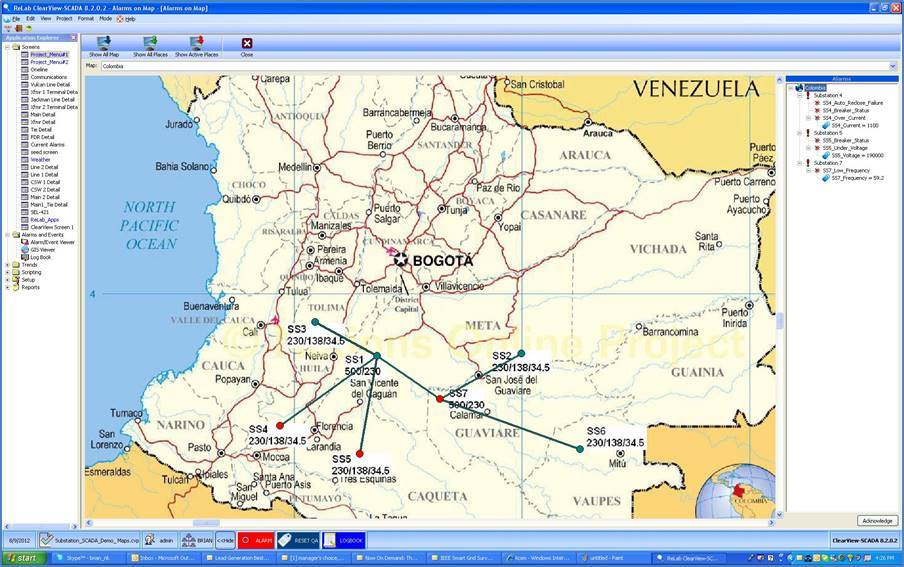
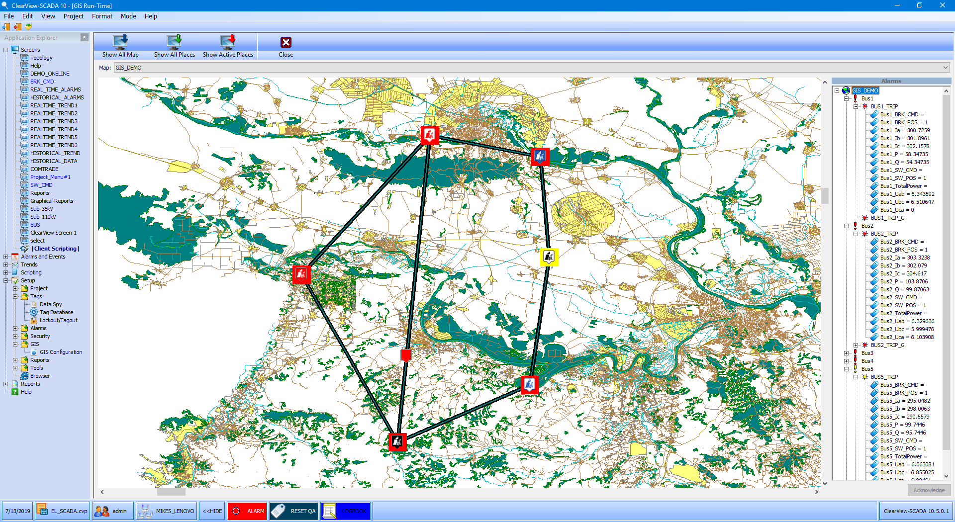
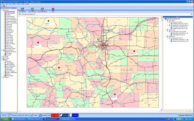
The GIS feature enables visualization of alarm and event information organized geographically with drill down and display capability into the assets to obtain detailed information about the alarm or event.
The GIS ties together all the pieces of the electrical system for improved support, better management of assets and alarms & events with increased accuracy of the data. This capability can be used to manage assets that are dispersed over a wide geographical area and where geographical presentation of the information enhances decision making.
Examples of applications include:
- Monitoring and remote SCADA within renewable generation plants, PV Solar and Wind
- Monitoring and remote SCADA for multiple renewable generation plants, control room
- Master SCADA for control room monitoring multiple substations; transmission & distribution
Features of ClearView SCADA-HMI Geographical Information System
- Alarm/Event driven application
- Displays Alarm Conditions and Status
- Displays data (tags) associated with alarm condition from ClearView database
- Supports map and drawing applications (dgn, dxf, jpeg, png, shp, tif, tiff, ttkjp)
- Sites and connectors can be configured, enabling visualization of interdependence of the alarms with assets
- Zoom and pan features
- Multiple layers and multiple maps can be used
- Easy to use and operates within the ClearView SCADA-HMI client
- Can be used with Local HMI and ClearView Enterprise Applications
Interested? Contact us